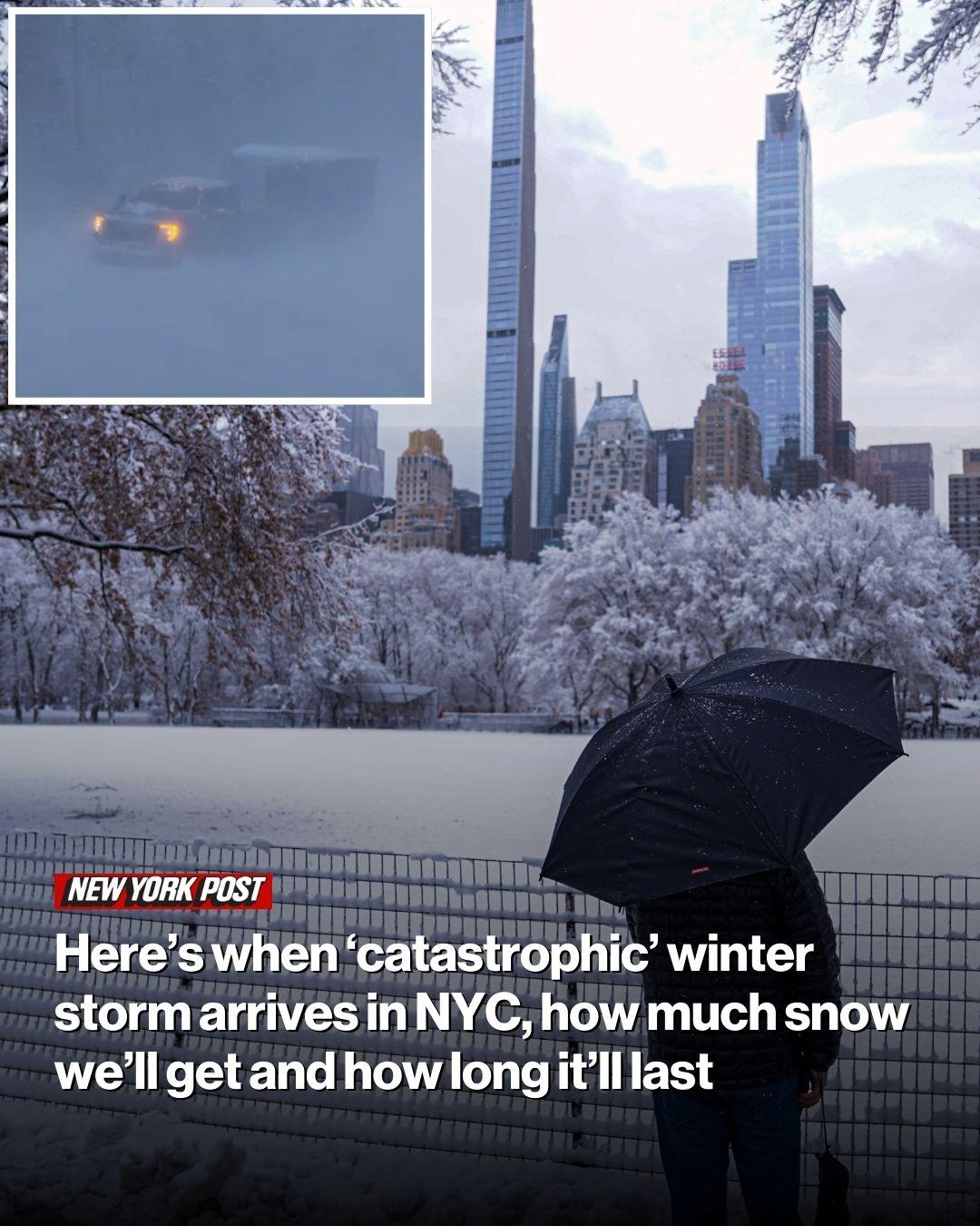
However, the Big Apple burbs west and north of the city will be hardest hit by the blizzard, dubbed “Winter Storm Fern.”
“It’s certainly not recommended to travel on Sunday. Do what you gotta do on Saturday — and then stay put,” said AccuWeather Senior Meteorologist Tom Kines.

Kines predicted a travel “disaster” on tri-state-area roads and at airports, but said the intense snowfall will likely be over “by lunchtime” Monday.
The short answer is: stay home Sunday if at all possible.
“Sidewalks aren’t gonna be cleaned off for a while,” he said. “I don’t think there’s any type of travel that’s going be safe on Sunday.”
Areas north and west of the Big Apple, including the Hudson Valley — where one forecaster predicted up to 20 inches of snow — are likely to be hardest hit, Kines said.
Areas closer to the coastline, including parts of Long Island, may see a slushy-icy winter mix instead of snow, Kines said


If the potentially historic storm moves north, the more likely scenario, the Big Apple and much of the tri-state area can expect to see a more modest 4 to 8 inches of snow.
The storm — which is expected to pummel up to 40 US states, placing 250 million people in its “catastrophic” path — comes as temperatures plunge into the low teens in New York City over the weekend.
The city will shiver through a bone-chilling low of 13 degrees Saturday, and 19 degrees Sunday as the storm hits, according to AccuWeather.
What do you think?
Monday is forecast to hit a low of 12 degrees and won’t likely get back to normal temperatures in the 20s and 30s until late next week, forecasters said.